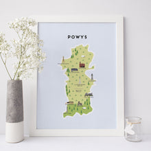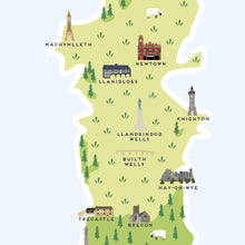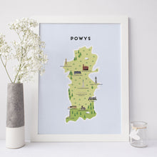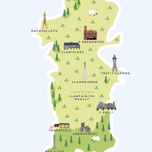
An illustrated map of Powys on matte white archival paper. Featuring notable places and names, national parks and historical landmarks. This print would be perfect for a friend, family member or just anyone who loves Powys!
The following places are featured:
ENGLISH: Machynlleth, Newtown, Llanidloes, Llandrindod
Wells, Builth
Wells, Hay-on-Wye, Trecastle, Brecon & Pen y Cae. WELSH / CYMRAEG: Machynlleth, Y Drenewydd, Llanidloes, Tref-y-clawdd, Llandrindod
, Llanfair-ym-
Muallt, Y Gelli, Trecastell, Aberhonddu & Pen y Cae.
FRAMING
If you choose framing our frames are available in white, oak or black, are made from MDF molding and are fitted with quality backboard. All frames come with a styrene protective sheet which has the same clarity of glass and is a safe option for hanging artwork in children’s rooms and for travelling by post.
MAP PRINT DIMENSIONS:
A4 (21×29.7cm)
A3 (29.7x42cm)
DISPATCH TIME:
Prints are available for dispatch within 1-2 working days.
If you would like more information please contact us.
Please Note: colours may differ slightly from your screen.


